ABOUT US
Reality Capture, Backed by People Who Know It
We're an authorized Leica Geosystems reality-capture partner, focused on putting the Leica RTC series — the RTC700, RTC500, and RTC300 — to work for teams across North America. Hardware is only the start. What sets a good deployment apart is the guidance around it: choosing the right model, integrating it with the software you already run, training your crews, and standing behind the system once it's in the field.
What We Do
We help surveying, construction, infrastructure, industrial, and public-safety teams adopt connected reality capture with confidence — from the first demo to full multi-scanner operations.
Sales & consultation
Spec the right RTC model to your projects, budget, and workflow.
Rentals
Prove the technology on your own site before you commit.
Training
Certified, hands-on instruction so crews are productive fast.
Software integration
Connect Capture to Cyclone, Autodesk, CAD, and BIM workflows.
Implementation & support
End-to-end help for large, coordinated deployments.
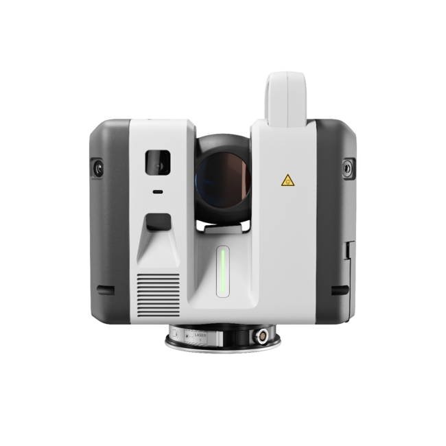
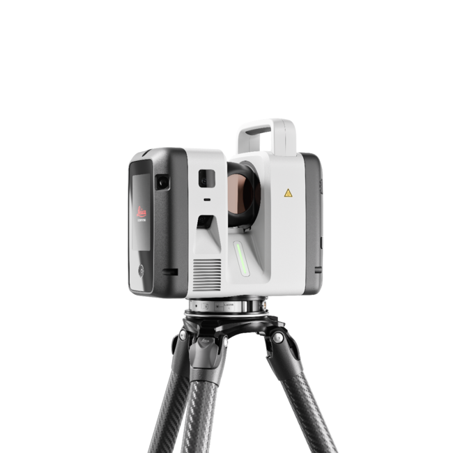
Why the Leica RTC Series
The RTC series was built from the ground up as a new platform — combining the speed and versatility teams loved in the RTC360 with the range, accuracy, and robustness of the ScanStation P-Series, then adding a real-time connected workflow on top. One trusted design across three performance levels means you can match the scanner to the job and scale without switching platforms. It's reality capture built for how teams actually work: fast, connected, and dependable.
How We Work With You
We start with your projects, not a product sheet. We learn how your crews capture, register, and deliver today, then recommend the model and workflow that move the needle — whether that's a single RTC300 for agile site documentation or a coordinated fleet of RTC700s for large infrastructure. Then we make sure it lands: integrated with your software, adopted by your people, and supported for the long run.
Our Partners
We work with the industry's leading reality-capture and design technology providers — Leica Geosystems, Autodesk, Cintoo, Pix4D, and the broader Hexagon software ecosystem — so the RTC series fits cleanly into the tools and workflows you already rely on.
Ready to Put the RTC Series to Work?
Our reality-capture specialists help you match the right RTC scanner to your projects, budget, and workflow — then back it with certified training, software integration, and full implementation support. Buy, rent, or schedule an on-site demo.