LEICA RTC SERIES · BALANCED PERFORMANCE
Leica RTC500 3D Laser Scanner
The Leica RTC500 is the versatile middle of the RTC series — built for teams that need real range and speed without stepping all the way up to the flagship. It captures up to two million points per second to 130 meters, pairing the same trusted Leica accuracy and connected workflow found across the line with a footprint that suits surveying, construction, public safety, and infrastructure work that changes by the day.
Have questions about putting the RTC500 to work on your project?
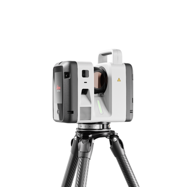
130 m Range, Full Capture Speed
With a 130-meter maximum range and up to 2,000,000 points per second, the RTC500 covers mid-scale sites in fewer setups while completing a full-dome scan with HDR imagery in roughly 1 minute 40 seconds. It hits the sweet spot for crews that need more reach and throughput than an entry scanner delivers, without the range or price of the flagship.
Trusted Accuracy Across the Series
The RTC500 shares the platform's core data quality: 1.2 mm + 10 ppm range accuracy, 10″ angular accuracy, and high-dynamic time-of-flight with Waveform Digitising for clean returns on challenging surfaces. Automatic self-calibration during normal operation keeps results dependable scan after scan, with no targets or manual setup required.
Field Survey Workflows, Built In
Through Cyclone FIELD 360, the RTC500 supports resection with targets from a full-dome scan, so crews can tie scans into project control right on site. Its workflow mirrors the familiar RTC360 experience while delivering the range, speed, and robustness of the new platform — a natural fit for teams standardizing on connected reality capture.
Real-Time Collaboration with Livelink
Livelink synchronizes field crews and office teams in real time through Cyclone FIELD 360 and Hexagon GeoCloud. Data becomes visible the moment it's captured, so office experts verify coverage while the crew is still on site — cutting revisits and keeping deliverables on schedule. Register and deliver in Cyclone REGISTER 360 PLUS.
Quick Facts
Up to 2,000,000 points per second
Maximum range up to 130 m
Full-dome scan + HDR image in ~1 min 40 s
Resection surveying workflow via Cyclone FIELD 360
72 MP / 432 MPx HDR imaging, VIS auto-registration, Livelink collaboration
Laser Class 1 (eye-safe), IP55 rated, self-calibrating
Ideal for surveying, construction, public safety, and infrastructure
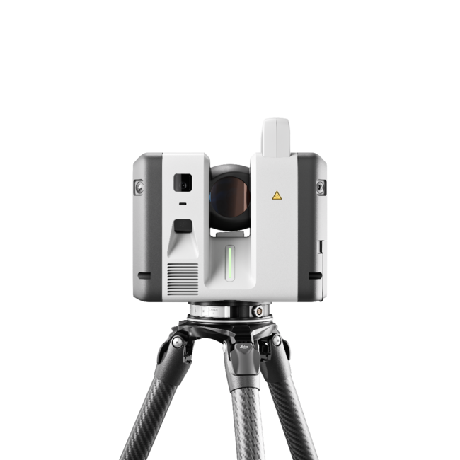
RTC500 Performance Highlights
Shared RTC Platform Specifications
How the RTC500 Compares
The RTC500 splits the difference between the entry RTC300 and the flagship RTC700 — flagship-level capture speed with a mid-range reach that fits most day-to-day work.
Need more reach or the on-board survey suite? Step up to the RTC700. Working closer in and cost-focused? The RTC300 may be the smarter entry.
Frequently Asked Questions
-
The Leica RTC500 is the balanced, mid-range model in Leica's RTC series. It captures up to two million points per second to 130 meters and shares the platform's trusted accuracy and connected workflow — built for surveying, construction, public safety, and infrastructure teams.
-
The RTC500 reaches a maximum range of 130 meters (to 8% albedo), with a minimum range of 0.5 meters.
-
Both capture up to 2 million points per second and share the same platform. The RTC700 extends range to 270 meters, adds an exclusive Area Scan mode (0.8 mm at 10 m) and a finer 1.6 mm resolution step, and includes a full on-board surveying suite. The RTC500 offers a 130 m range with resection survey workflows.
-
The RTC500 captures at up to 2 million points per second to 130 meters, while the RTC300 captures at up to 1 million points per second to 85 meters. Both support resection workflows and share the platform's accuracy; the 500 offers more reach and speed for mid-scale work.
-
The RTC500 suits surveying, construction, public safety, and infrastructure teams that need flexible range and full capture speed for sites that change as the project develops.
Ready to Put the RTC Series to Work?
Our reality-capture specialists help you match the right RTC scanner to your projects, budget, and workflow — then back it with certified training, software integration, and full implementation support. Buy, rent, or schedule an on-site demo.